


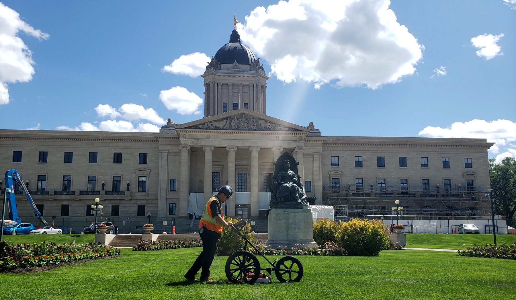
Scan
Collect the picture
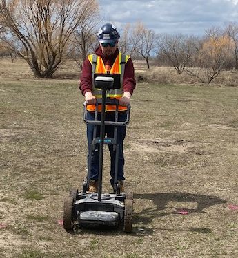
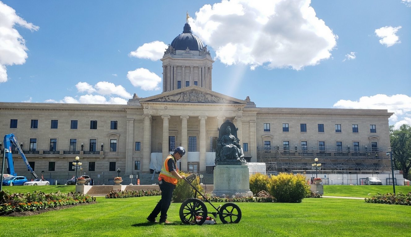
GPR on concrete and in the field. Electromagnetic locators on conductive services. Camera in the line when you need to see the pipe itself.
Canada's Leader in Damage Prevention Services
Contractors, engineers, and owners call Structure Scan when they need a clear picture before anyone cuts, cores, or digs. We’re a Winnipeg family company. We scan concrete, locate utilities, and leave marks and maps the crew can actually use.
Scan
GPR on concrete and in the field. Electromagnetic locators on conductive services. Camera in the line when you need to see the pipe itself.
Mark
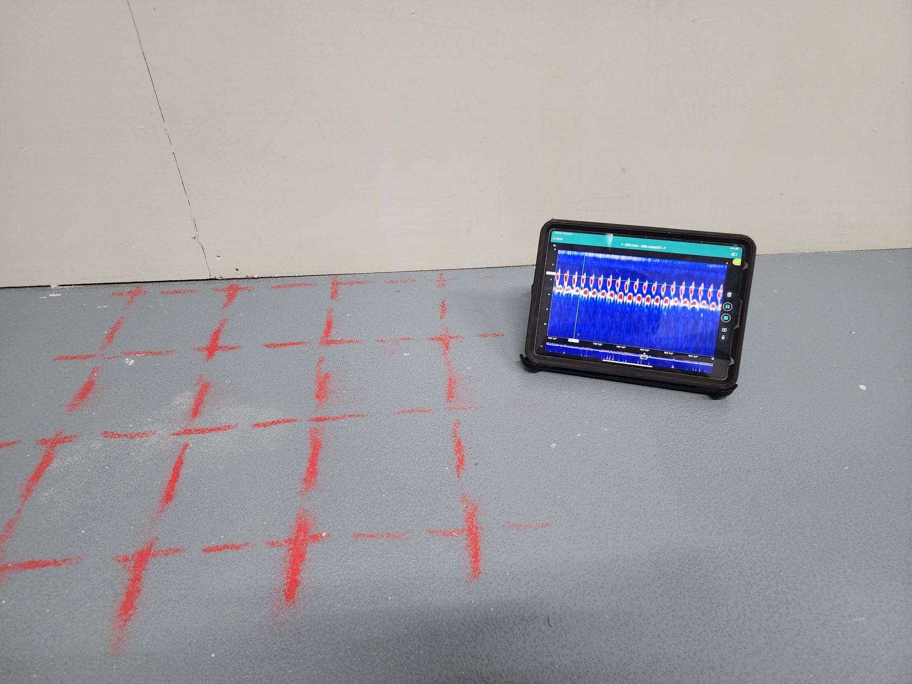
Paint, tape, and notes where the crew will actually work—rebar grids, post-tension paths, heat lines, and buried utilities.
Deliver
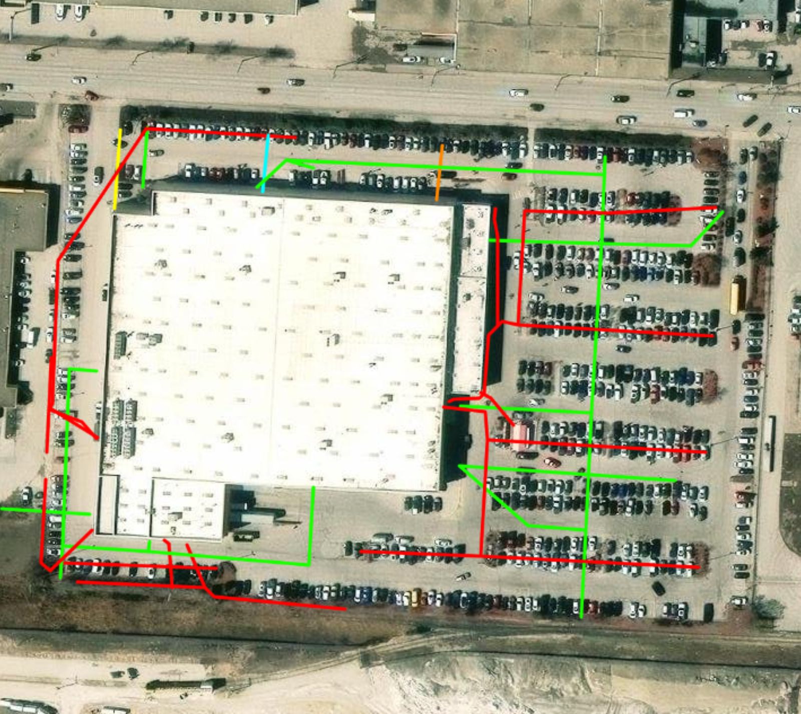
2D and 3D concrete imaging, geo-referenced utility maps, and a digital archive you can hand to the next trade on site.
Services
Hitting rebar, a post-tension cable, a gas line, or a heat pipe is the kind of surprise that stops a job. Structure Scan is the crew you call first: ground penetrating radar in concrete, electromagnetic locates in the field, a camera in the drain when you need to see the pipe, and maps you can keep after we leave.
Not sure which service you need? If you’re cutting or coring, start with GPR. If you’re digging, start with locates. If the slab might have in-floor heat, add thermography. If the question is inside a lateral or weeping tile, that’s the camera. Or just call the office—we’ll sort it with you.
On the ground
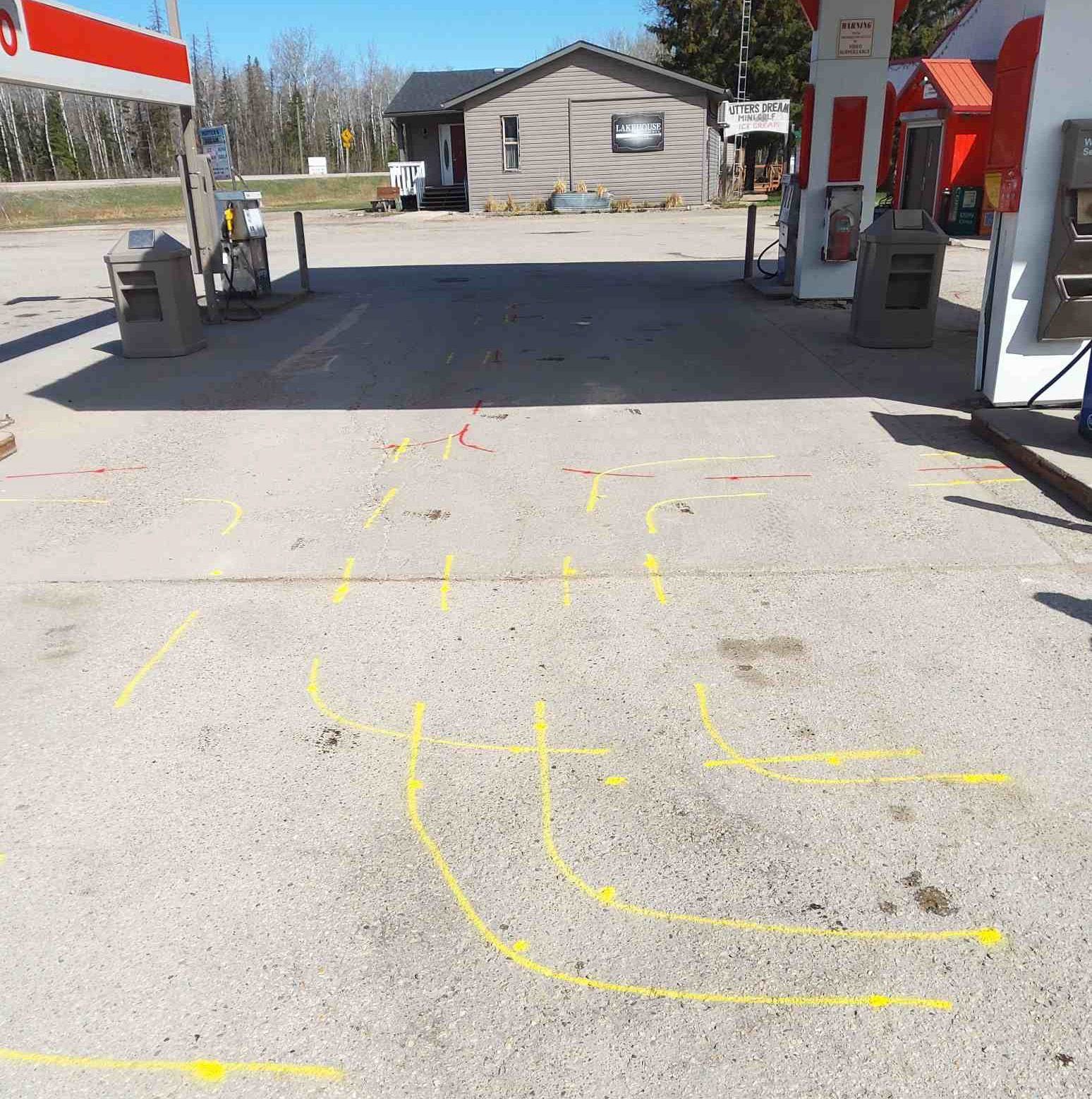
Every unmarked line is a chance to hit something you didn’t budget for. We show up with GPR, electromagnetic locators, and people who like solving puzzles under the surface. Findings get marked where the work will happen—tape and crayon on a slab, colour-coded paint on gravel or asphalt—so the next trade isn’t guessing from a PDF in the truck.
When you need a record, we produce geo-referenced utility maps and concrete imaging you can hand to an engineer, a superintendent, or the crew that shows up next month. Private. Confidential. Written so a human can read it.
Proof, not stock
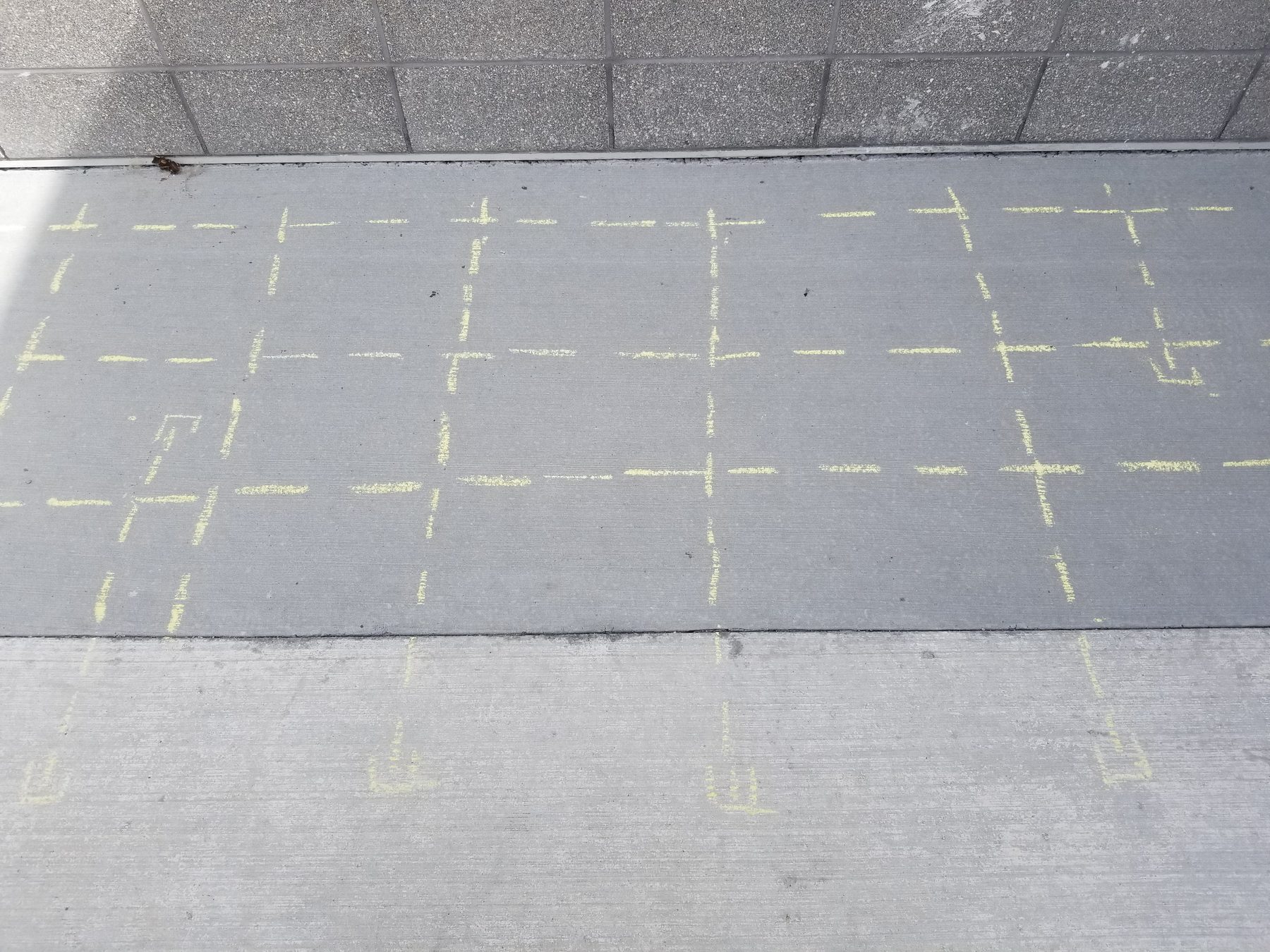
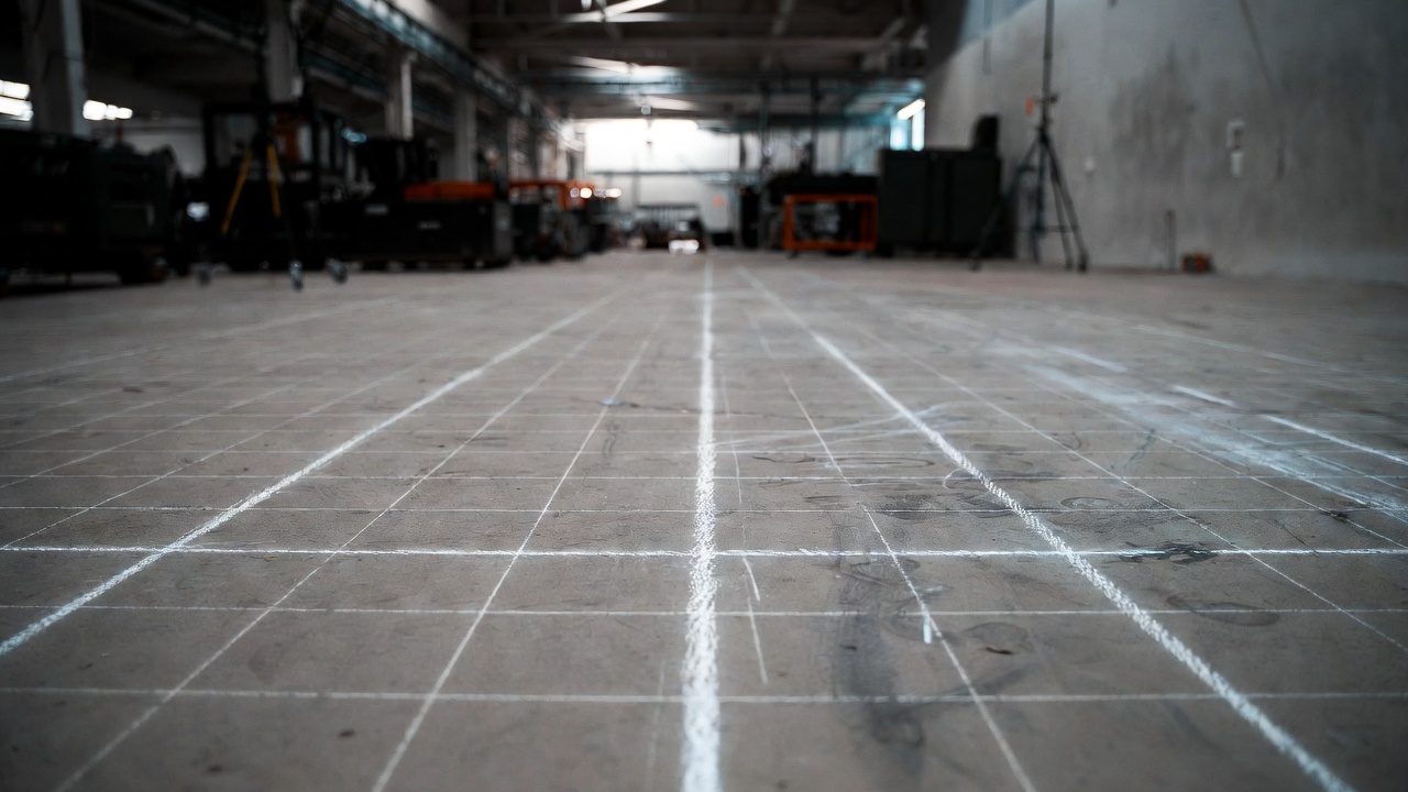
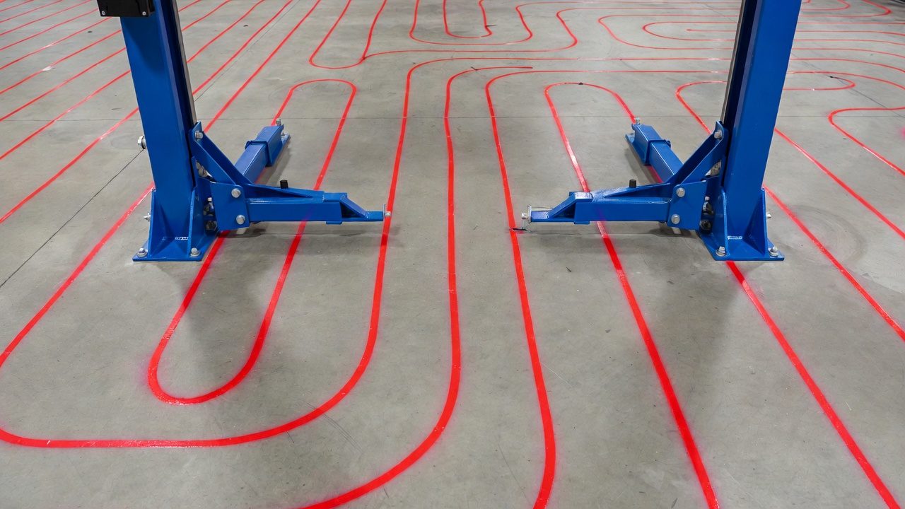
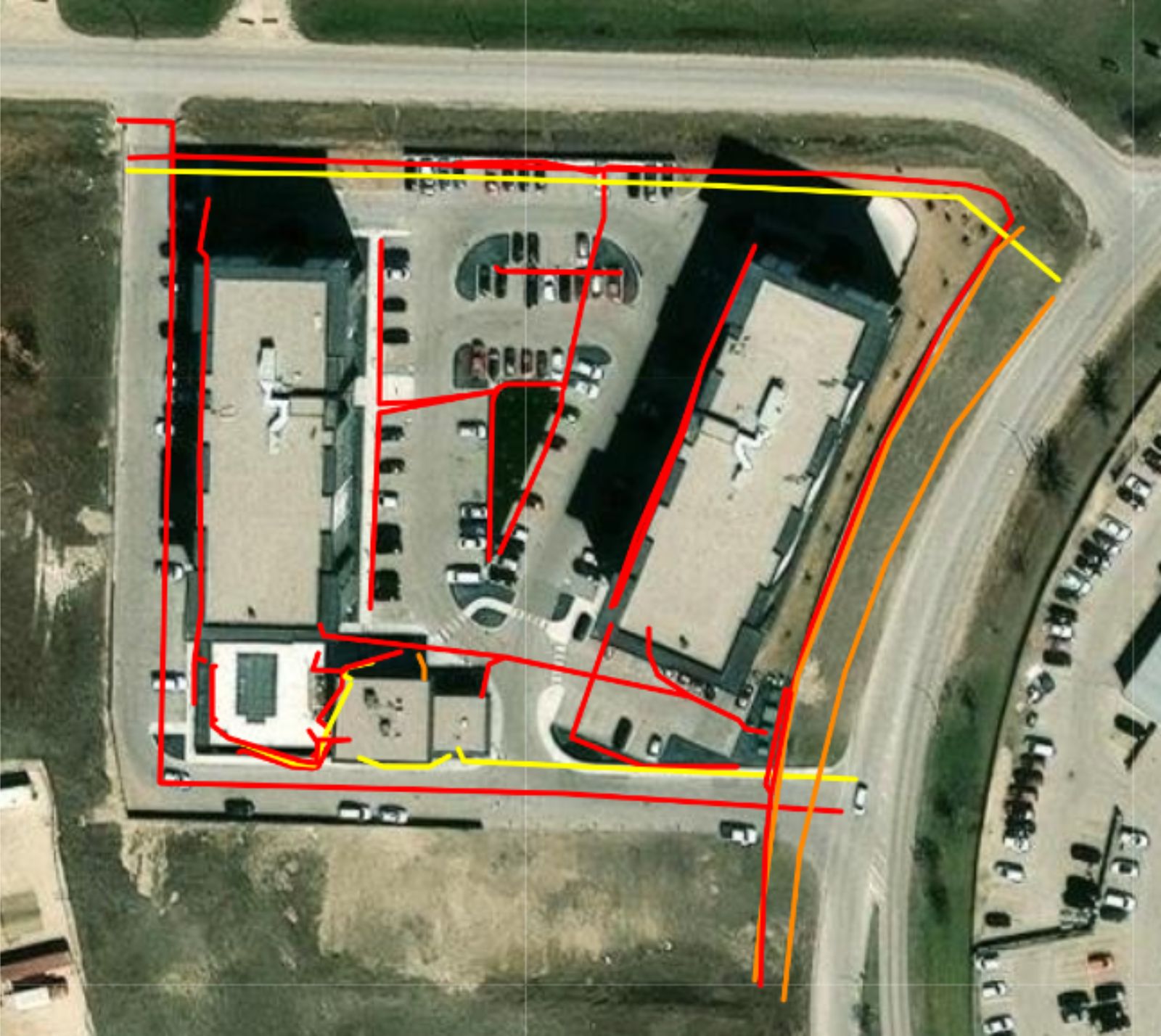
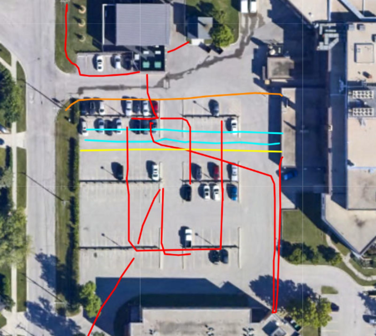
This is the work: a rebar grid marked beside the radargram, dowels chalked on a sidewalk, a warehouse slab gridded for scanning, heat lines painted around shop lifts, locates on the pad, and GPS maps of what we found. Field photos and Structure Scan deliverables—not a stock skyline.
Deliverables
Public locates often arrive as scattered PDFs, emails, and sketches that don’t quite line up. Our locate work is built to be used: surface marks for the people holding the shovel, and geo-referenced maps—submeter digital and printed—showing the path of each pipe and cable we located.
Keep them for planning, permitting, future maintenance, and the next contractor who asks “what’s under the parking lot?” If you also need tickets coordinated and private sweeps folded in, that’s locate management.
Family business
Tony Brunette started Structure Scan in Winnipeg in 1999. Michael Brunette (Owner/CFO) and Allan Gunter (Owner/CEO) own it now, with Janine Gunter as COO. Tony remains Founder. Same family, same idea: give crews a clear picture of what’s below before they dig, cut, or drill.
From the shop at 7 Valde Avenue, we work across Manitoba, Saskatchewan, Western Ontario, and Nunavut. If the job is in those regions, give us a call. You’ll talk to the people who actually do the work—not a call centre reading a script.
Call the Winnipeg office or send a note. We’ll help you pick the right service—no jargon wall, just a clear next step.